|
|
|
|
1.1 Charts other than approach charts
|
|
Civil (land)
|
|
|
Civil (water)
|
|
|
Joint civil and military (land)
|
|
|
Joint civil and military (water)
|
|
|
Military (land)
|
|
|
Military (water)
|
|
|
Emergency aerodrome or aerodrome with no facilities
|
|
|
Sheltered anchorage
|
|
|
Heliport
|
|
|
|
|
|
The aerodrome on which the procedure is based
|
|
|
Aerodromes affecting the traffic pattern
|
|
|
Final Approach Fix
|
|
|
|
|
|
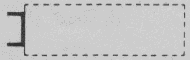
Hard surface runway
|
|
|
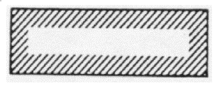
Unpaved runway
|
|
|
Stopway
|
|
|
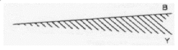
Clearway
|
|
|
1.4 Aerodrome installations and lights
|
|
Aerodrome reference point (ARP)
|
|
|
Taxiways and parking areas
|
|
|
Control tower
|
|
|
Point light
|
|
|
Barrette
|
|
|
VOR check-point
|
|
|
Obstacle light
|
|
|
Aeronautical ground light
|
|
|
Wind direction indicator (lighted)
|
|
|
Wind direction indicator (unlighted)
|
|
|
Landing direction indicator (lighted)
|
|
|
Landing direction indicator (unlighted)
|
|
|
Taxi holding position
|
|
|
PAPI
|
|
|
Landing T
|
|
|
|
|
|
Flight information region (FIR)
|
|
|
Aerodrome traffic zone (ATZ)
|
|
|
Control zone (CTR)
|
|
|
Restricted airspace (Prohibited, restricted or danger area)
|
|
|
Reporting point (compulsory)
|
|
|
Reporting point (on request)
|
|
|
ATS/MET reporting point (compulsory)
|
|
|
ATS/MET reporting point (on request)
|
|
|
Way-point (fly-over WPT)
|
|
|
Way-point (fly-by WPT)
|
|
|
|
|
|
Non-directional radio beacon (NDB)
|
|
|
VHF omnidirectional radio range (VOR)
|
|
|
UHF tactical air navigation aid (TACAN)
|
|
|
Distance measuring equipment (DME)
|
|
|
Collocated VOR and DME (VOR/DME)
|
|
|
Collocated VOR and TACAN (VORTAC)
|
|
|
Instrument landing system (ILS plan view)
|
|
|
Instrument landing system (ILS profile)
|
|
|
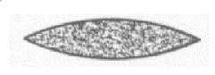
Radio marker beacon (elliptical)
|
|
|
Radio marker beacon (bone shape)
|
|
|
|
|
|
Highest elevation on chart
|
|
|
Obstacle light
|
|
|
Obstacles and group of obstacles, lighted
|
|
|
Obstacles and group of obstacles, unlighted
|
|
|
Common boundary between two areas
|
|
|
Restricted airspace (prohibited, restricted, danger areas)
|
|
|
Isogonal
|
|
|
Transmission line or overhead cable
|
|
|
Tank farms
|
|
|
Coast guard station
|
|
|
Race track or stadium
|
|
|
Fort
|
|
|
|
|